The new OpenHistoricalMap integration in Gramps Web
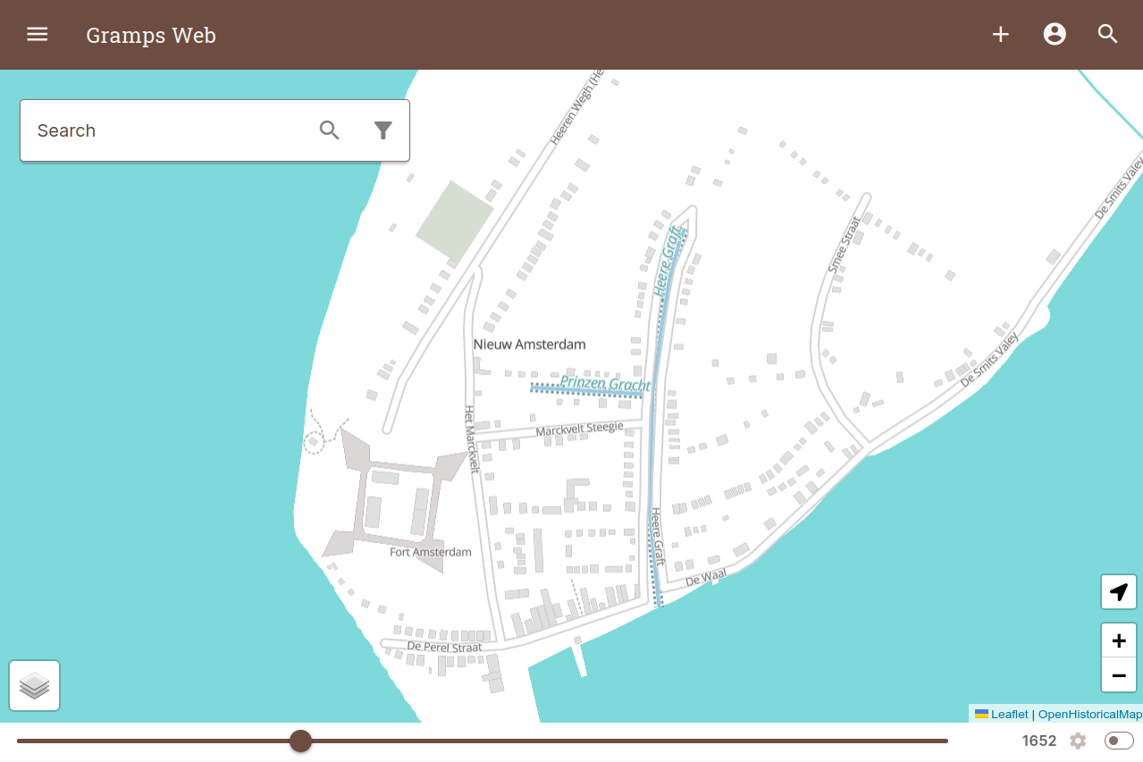
Historical geography is closely linked with genealogy — even if we know which places our ancestors lived in, those places might have looked drastically different in different time periods. That’s why it’s exciting that the July 2024 version of Gramps Web brought a major new feature for the map view: integration of OpenHistoricalMap (OHM) as a map layer.
OpenHistoricalMap
OHM is based on the technology of OpenStreetMap (OSM) but, rather than mapping the present, aims to gather historical data that doesn’t belong in the OSM database. This includes historical railway tracks that are no longer in existence, old city layouts, and other geo-objects that have changed or disappeared over time. OHM is almost like taking all of the old maps and historical documents we can find and combining them into one comprehensive, digital map. While OSM focuses on the present state of locations, OHM is all about capturing the dynamic history of geographical data, mapping objects regardless of when they existed. You can find more information about the OHM project in the OSM Wiki.
Dynamic Historical Maps in Gramps Web
So what exactly has changed with the addition of OHM to Gramps Web? Let’s delve into the details!
Activating the OpenHistoricalMap layer is straightforward. By opening the layer switcher at the bottom left of the map view, users can easily toggle between different map layers, now including OHM.
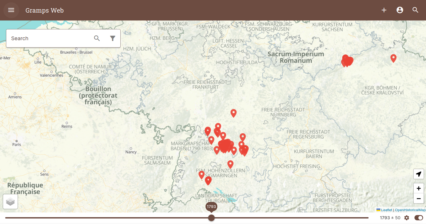
With the new integration, the Gramps Web map view has become significantly more dynamic. Users can now utilize a time slider to “scroll through history”, adjusting the map to display how locations appeared in different time periods. The time slider also includes an option to filter all places in the Gramps database, shown as pins on the map, depending on whether an event took place in those locations around the selected year. Whether you’re tracing your family’s footsteps across centuries or exploring the geo-political changes that impacted your ancestors’ lives, the filtered Gramps Web data and OHM’s dynamic historical maps combine to form a powerful tool for genealogical researchers.
 OHM Layer showing historical political boundaries and Gramps place pins.
Future Prospects
OHM is still a young project and the coverage of mapped objects varies significantly in both space and time. But the combination with genealogical data shows its potential. If you’re a genealogist researching the history of your ancestors in a particular area, why don’t you contribute to OHM yourself? Local historical or genealogical societies can join forces with mappers to turn OHM into a time machine for a village, town, or entire region.
I’m convinced that the ability to visualize the ever-changing landscape of our ancestors’ lives, made easier by the new OHM integration in Gramps Web, opens up new dimensions of understanding and offers a richer, more comprehensive view of our family history.